

El Niño reaches its peak: WMO records ocean warming and increased threats to the entire planet.
To begin with, what is El Niño? In Spanish, this word means "boy" or "little one." This is how meteorologists refer to a natural phenomenon in which surface waters in the tropical part of the Pacific Ocean are anomalously heated. In normal years, trade winds push warm water towards Asia, while cold deep waters rise along the shores of South America. However, during El Niño, the winds weaken, warm water shifts eastward, and the ocean literally "overheats." This, in turn, triggers a chain reaction in the atmosphere, changing weather patterns around the world—causing droughts in some areas and floods and heatwaves in others.
And now, global meteorologists state: this natural cycle is entering a new active phase. The World Meteorological Organization (WMO) has officially confirmed the formation of El Niño in the tropical part of the Pacific Ocean. According to calculations, from July to September 2026, the climate system will reach a strong stage of this phenomenon. Typically, El Niño reaches its maximum intensity level from November to February.
Leading global forecasting centers, according to the WMO, show high consistency in their models, making the current forecast particularly reliable. It is expected that sea surface temperatures in the central and eastern equatorial part of the Pacific Ocean will steadily rise, and seasonal anomalies in key monitoring areas will exceed two degrees Celsius.
WMO Secretary-General Celeste Saulo stated directly that the current conditions of El Niño are already being observed and will rapidly intensify. According to her, this directly increases the likelihood of droughts, heavy precipitation, and heatwaves—both on land and in oceanic waters. The organization emphasizes that from July to September, air temperatures are highly likely to be above normal across almost all land areas between 60°S and 60°N. Over the oceans, the most pronounced warming is forecasted in the equatorial part of the Pacific Ocean, as well as in the Indian Ocean and the tropical Atlantic. An exception, according to calculations, may be part of the North Atlantic—where there remains an increased likelihood of temperatures around normal or even below, reports the publication "Vedomosti."
As for precipitation, the forecast appears polar depending on the region. In the central and eastern equatorial part of the Pacific Ocean, precipitation levels are expected to be above the climatic norm. Meanwhile, in several areas of the Indian Ocean, the Indian subcontinent, and most of Australia, the risk of drier conditions is increasing.
In Africa, according to the forecast, the picture will be contrasting: the northern part of the Gulf of Guinea will receive more precipitation than normal, while the Horn of Africa region, on the contrary, faces a deficit. Below-normal precipitation may also occur in certain parts of Central America, the Caribbean, and the northwest of South America. At the same time, a wetter weather pattern is forecasted for the southwest of the United States. Europe is also expected to see a divide: Southern Europe is predicted to receive more precipitation than usual, while Northern Europe, on the contrary, will face a decrease.
However, WMO specialists make an important caveat: for the European region, the level of confidence in seasonal forecasts remains lower than for many other parts of the world. So, despite the seriousness of global trends, local scenarios for Europe are still associated with a greater degree of uncertainty.
Другие Новости Кирова (НЗК)
 Net on the Vyatka, a boat, and 10 fish: a Kirov resident will face trial for poaching
In the Kotelnikovsky district, transport police caught a 41-year-old underwater hunting enthusiast red-handed. The man blocked a spawning area of the river with a 16-meter net and managed to catch three types of fish. Now his case is in court, and the maximum sentence under the article can reach up to two years of imprisonment.
Net on the Vyatka, a boat, and 10 fish: a Kirov resident will face trial for poaching
In the Kotelnikovsky district, transport police caught a 41-year-old underwater hunting enthusiast red-handed. The man blocked a spawning area of the river with a 16-meter net and managed to catch three types of fish. Now his case is in court, and the maximum sentence under the article can reach up to two years of imprisonment.
 There are fewer gender biases in the labor market.
The Russian labor market is gradually getting rid of gender stereotypes in hiring.
There are fewer gender biases in the labor market.
The Russian labor market is gradually getting rid of gender stereotypes in hiring.
 The regional election commission met and made decisions.
The Electoral Commission of the Kirov Region held its regular meeting. It turned out to be the 108th in the count.
The regional election commission met and made decisions.
The Electoral Commission of the Kirov Region held its regular meeting. It turned out to be the 108th in the count.
 Гражданин Йемена стал обладателем российского паспорта в Кирове.
Иностранные студенты, обучающиеся в российских государственных университетах, стремятся к получению красного диплома. Такой диплом является основанием для упрощённого процесса получения гражданства Российской Федерации. На этой неделе радостным обладателем важного документа для граждан России стал выпускник из Йемена, который
Гражданин Йемена стал обладателем российского паспорта в Кирове.
Иностранные студенты, обучающиеся в российских государственных университетах, стремятся к получению красного диплома. Такой диплом является основанием для упрощённого процесса получения гражданства Российской Федерации. На этой неделе радостным обладателем важного документа для граждан России стал выпускник из Йемена, который
 The regional election commission met and made decisions.
The Electoral Commission of the Kirov Region held its regular meeting. It turned out to be the 108th in the count.
The regional election commission met and made decisions.
The Electoral Commission of the Kirov Region held its regular meeting. It turned out to be the 108th in the count.
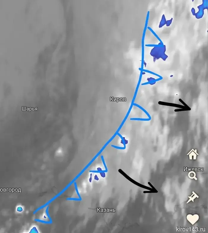 After the cool front, heat up to +30 will return to the Kirov region.
The cold front currently passing through the Kirov region is already leaving the area. Meteorologists predict a quick warming and the return of heat.
After the cool front, heat up to +30 will return to the Kirov region.
The cold front currently passing through the Kirov region is already leaving the area. Meteorologists predict a quick warming and the return of heat.
El Niño reaches its peak: WMO records ocean warming and increased threats to the entire planet.
A natural phenomenon that has already affected the climatic balance is preparing for a new cycle. Experts from the WMO warn: the anomaly in the Pacific Ocean will enter a strong phase in the coming months, and temperature readings may exceed two degrees above normal.